|
Home Port of Seward, Alaska |
|
| Back to Leg 4 Photos | ||||
|
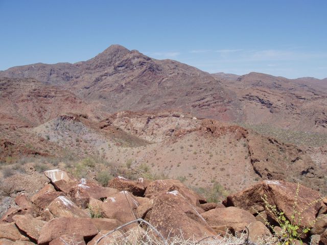
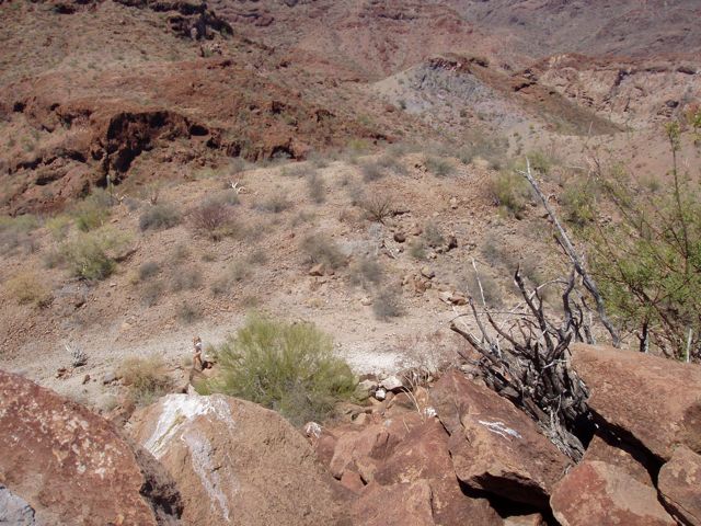
We Explore Bahia Coyote By Foot There was little reason to leave. We had ascertained that moving further south would not provide the good anchorage that we had earned, and the terrain around us was spectacular. Why move? We followed the recommendations of the guidebook and hiked to the top of a local mountain. Although we did not find the promised Pre-Spanish stone markings, we did find "bell rocks" and a lovely view.
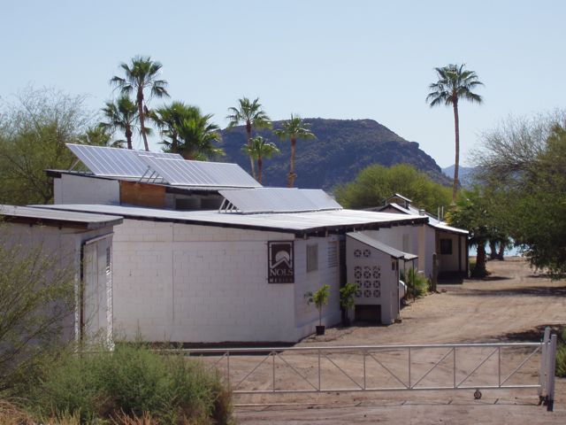
NOLS (National Outdoor Leadership School) has a major presence here. Note the enormous solar array on the roof. They have a secure compound with big Wifi that I was not able to hack. Drat.
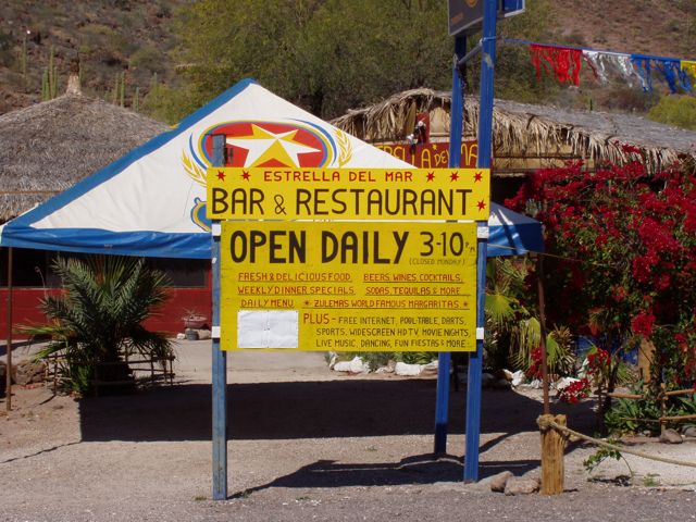
Estrella Del Mar, Star of the Sea (or Sea Star), a local restaurant advertising good food and free Wifi.
Our route up the mountain skirts the large buttress at left. Switchbacks are in the upper several hundred feet We made the ridge line at the col just to the left of the large "bump" on the left end of the ridge.
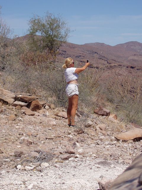
At the col, lovely Conni snaps a photo with her iPhone.
Shade! We sat here in the shade and cooled from the hike.
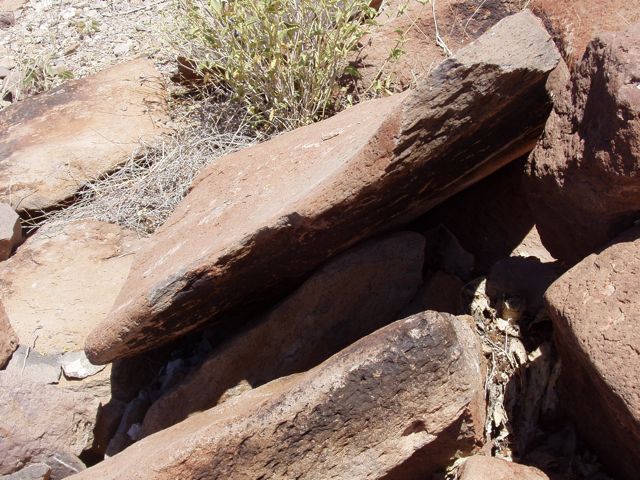
For reasons unclear to me, when this stone was struck on the wide face, near this edge, it produced a metallic ringing similar to that produced by striking a piece of cast iron. While not a bell-like sound, it was completely unexpected. No doubt the thinness and ability to oscillate freely contributed to the sound quality, but others have maintained that the high iron content accounted for the sound. I found that only stones of this type that were free to oscillate and fairly thin produced the sound.
Just the texture of the stone caught my eye and lens.
Playa Santispac, another anchorage a bit north of us. Is is surrounded by luxury homes.
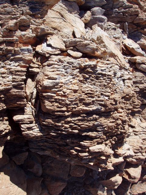
The grey rock at left reminds us that this is volcanic rock and not sedimentary.
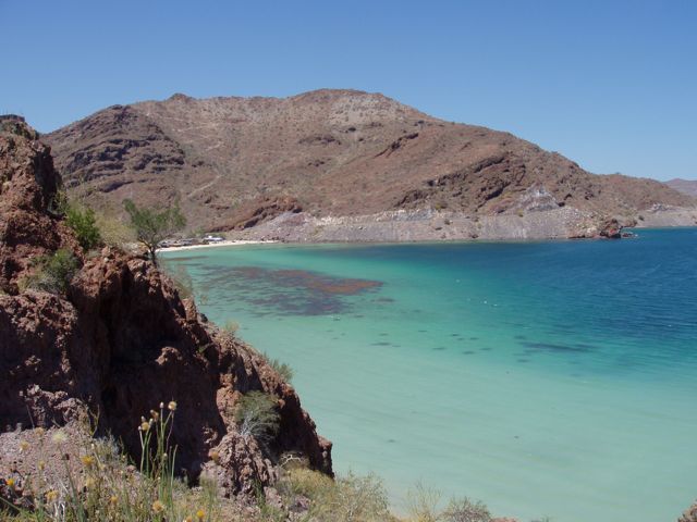
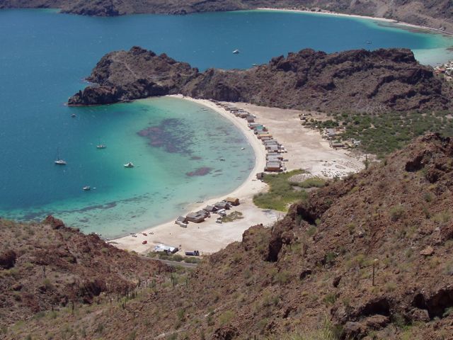
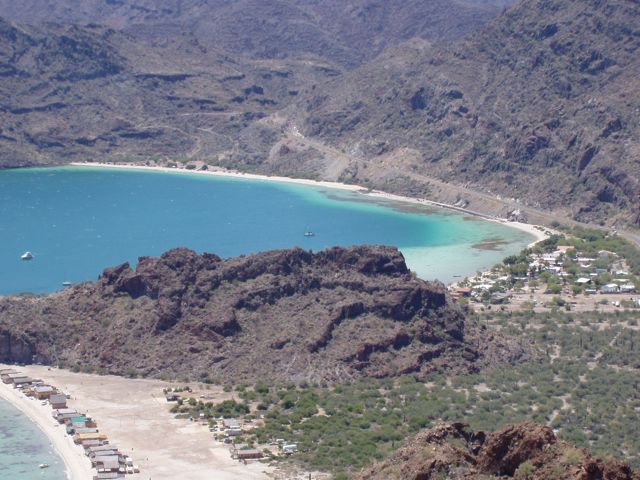
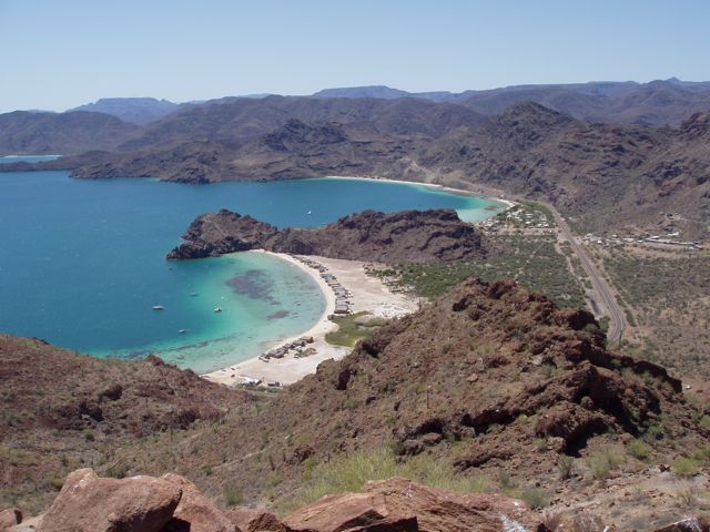
Playa El Burro with Bertha's in the foreground. What beautifully colored water! The small structures are rental palapas. The previous day, we hiked over the small peninsula that separats the beaches by walking to the far end of the Playa El Burro and climbing over the rock. This side was easy but the other side was challenging!
Playa Coyote with Wings in mid-photo, just above the rock outcropping. She's in 30-ft deep water.
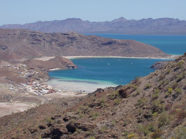
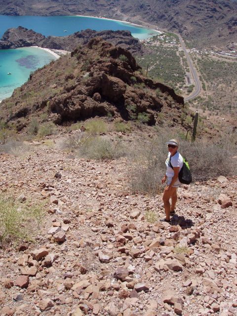
The layout of Playa El Burro in the foreground and Playa Coyote in the background. The large highway is the famous Transpeninsular that is the main North/South route. It carries all the traffic into and out of the Baja.
From the high point, I photo lovely Conni down in the col.
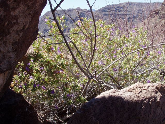
I found some shade and admired these colorful blue-flowered bushes.
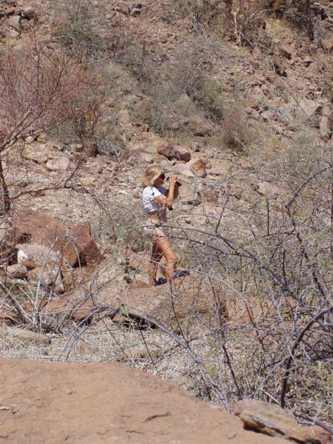
Conni the explorer.
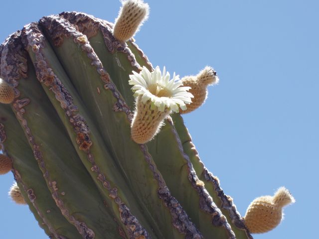
Cactus Flower: a bloom and some emerging blooms, or fruit, on the Cardon cactus.
After an hour of rest, cooling, and water, we head down to the boat.
|
||||
|
|
Please e-mail our webmaster with any site questions. |
|||
|
Copyright © 2008– S/V Wings |
 align="center"